Inch House Irish Studies Centre
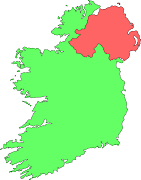
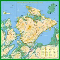
Inch Island and Inishowen
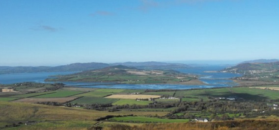
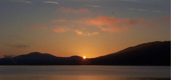
Inch Island is a land-tied island with a permanent causeway, located to the west of the Inishowen peninsula. Inishowen is the largest peninsula in Ireland, banked by Lough Swilly to the west and Lough Foyle to the east. Malin Head, Ireland's most northerly point lies at the top of the peninsula, approximately one hour from the Inch House Irish Studies Centre.Inch Island lies in the south west of Lough Swilly, beside the Wild Atlantic Way, a 1000KM coastal drive on Ireland's west coast. Within a few kilometres we have horse riding and sea fishing, a wildfowl reserve, basking sharks, a 4,000 year old ring fort, some of the world's best beaches, stunning golf courses and award winning museums.
Our tour of Inishowen is one of the highlights of our programmes. On the tours we visit Grianan of Aileach (a spectacular ring fort, dating from the Iron Age), St Aengus Church, Burt (the Irish Building of the 20th century), the graves of Agnes Elizabeth Jones, a compatriot of Florence Nightengale, the grave of St Mura, An Evie Hone stain glass window, a mosaic floor in honour of Frances Alexander, the O’Dochartaigh Keep, the landing spot of Wolfe Tone and the Dunree Military Museum.
Thanks to Aoife NicSheain, Kenneth Porter and the University of Massachusetts for the photographs on these pages.
The Inishowen Peninsula